-40%
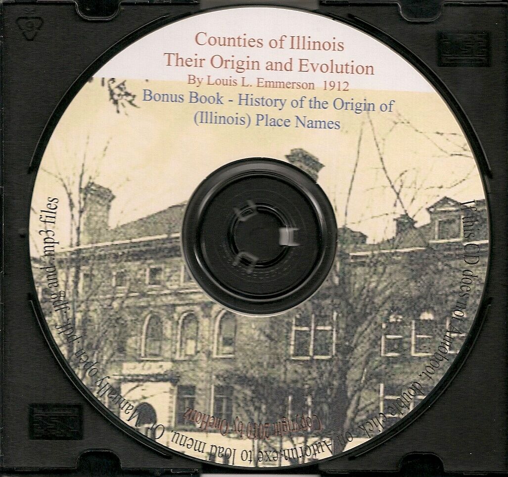
Illinois Counties - Their Origin and Evolution + bonus
$ 5.78
- Description
- Size Guide
Description
Counties ofIllinois
Their Origin and Evolution
67 pages
With 23 maps, showing the Original and the Present County Boundary Lines
By Louis L. Emmerson (Secretary of State, & Governor)
Published 1920
- Bonus Book -
History of the Origin of Place Names
Connected with the Chicago & Northwestern
205 pages, Indexed
Published 1908
- Bonus Book -
Pronunciation Guide for Illinois Names
48 pages, Indexed, Searchable
****************************************************************************************************
Digital EBook
CD
Requires Adobe Reader 7.0 or higher to View
Autoboot Menu for easy PC access; Manually open on MAC
**********************************************************************************
The counties of
Illinois
are 102 in number of which
McLean
is the greatest in area with 1,161 square
miles and Cook the most
populous with 2,405,233 as returned by the Federal census of 1910.
Putnam is the smallest in extent with an area of 170
square miles, McLean having about seven times its area, Hardin County the least populated,
having 7,015 inhabitants and Cook
about 343 times its population.
Cook contains the greatest number of incorporated municipalities, seventy-nine; Madison the
next in number, 26, while Boone, Hardin,
Massac, Pope and Schuyler contain the smallest number, three each.
County organization in
Illinois
dates back to 1779 when, after the conquest of Kaskaskia
and
Vincennes
by George Rogers Clark
in 1778, the "
County
of
Illinois
" was established
by legislative enactment of Virginia and the new county, vaguely defined as to
boundaries, was attached to that commonwealth. This was passed in October 1778 and
proclamation of the act made June 17, 1779.
Captain John Todd was appointed "County
lieutenant commandent" and organized the government with the county seat at Kaskaskia.
But the machinery of county government was never effectually set up, and it soon ceased to run.
In 1784,
Virginia
surrendered to the general government all claims to this territory and
in 1787 "An Act for the government of the territory of the
United States
northwest
of the
Ohio River
" was passed by the congress sitting under the articles of confederation.
Under this ordinance General Arthur St. Clair was appointed governor of the territory,
and, in 1790, organized by proclamation, the
county
of
St. Clair
, named in honor of himself.
To understand the boundaries defined in this and subsequent proclamations and in the
early legislative acts setting up counties in the Northwest Territory, Indiana Territory and
the territory of Illinois, it is necessary to know the geographical location
of a number of points not found on modern maps of Illinois.
It was standard practice that early counties included large territories which were sub-divided,
numerous times, as the population
increased. Even if your early
Illinois
pioneer settler
ancestors never moved they would have become residents of numerous counties.
Your success in locating family records will be enhanced if you know the county
boundary changes and timelines.
A good tool for your genealogy toolkit.
Bonus Book #2
A History of the Origin of the Place Names
Connected with the Chicago & Northwestern Railways
and Chicago, St. Paul, Minneapolis & Omaha Railways
200 pages
Published 1908
CONTENTS
Introduction - - I
History, in alphabetical order, of the names of the states the North Western traverses - . .. .
History, in alphabetical order, of the names of the counties the North Western passes through - - - 11-33
History, in alphabetical order, of the places (cities, towns, villages and stations) the North Western passes through - 35-142
The list, in alphabetical order, of the old and abandoned names of the places the North Western traverses - - 143-150
History, in alphabetical order, of the names of the states the Omaha road traverses - - 157-158
History, in alphabetical order, of the names of the counties the Omaha road passes through - 159-165
History, in alphabetical order, of the names of the places (cities, towns, villages and stations) the Omaha road passes through - - - - - 166-198
Check out my
other items
!
Be sure to add me to your
favorites list
!
+++++++++++++++++++++++++++++++++++++++++++++++++++++++++++++++++++++++++++++++
Terms and Conditions of Purchase
ü
Your item will usually ship 1-2 business days after payment has been received.
ü
If not paid instantly with PayPal, please use the checkout option
within three days of winning
single item auctions.
ü
ü
In line with EBay policy only Paypal payment is accepted, and is due within three days of purchase.
My feedback is promptly left after your feedback is received.
ü
Your business is appreciated and my main concern is your happiness with your product.
ü
If you are not satisfied for any reason please contact me and I will do my best to assist you with a resolution.
+++++++++++++++++++++++++++++++++++++++++++++++++++++++++++++++++++++++++++++++
About the Seller
ü
Bid with confidence. See my feedback rating
.
ü
All items from a smoke-free and pet-free home.
ü
I do offer a mailing discount for multiple purchases shipped together.
Add $.50 ea for CD 2&3; free shipping CD 4&5
ü
Thanks for looking. Happy bidding
.
ü
Check out
my other items
!
+++++++++++++++++++++++++++++++++++++++++++++++++++++++++++++++++++++++++++++++
Recent Feedback On My CD’s
ü
Great product....Thanks....Would purchase from in future with confidence....
ü
Nice, collection of documents. A lot of work went into the CD. Thanks!
ü
Great collection of hard to find resources. . .
ü
Great Seller! Fast Delivery! Product as described.
ü
Prompt shipping and mint condition. Thanks
+++++++++++++++++++++++++++++++++++++++++++++++++++++++++++++++++++++++++++++++++++
The seller, vakendot, assumes full responsibility for the content of this listing and the item offered.


