-40%
History of Luzerne & Lackawanna County Counties PA Scranton Pennsylvania
$ 9.92
- Description
- Size Guide
Description
The Wyoming Valley of Pennsylvania, where"Truth is Stranger Than Fiction."
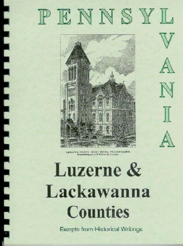
Luzerne & Lackawanna
Counties
ILLUSTRATED BOOKLET
Early days in Luzerne and Lackawanna Counties in Pennsylvania are recalled through a mixture of colorful tales and factual data in this
NEW
90-Page
Booklet
, reprinted primarily from
four
hard-to-find vintage books. The
spiral-bound booklet is printed on 60# paper, with the print size adjusted to fit 8 1/2 x 11 paper. A vinyl sheet protects the front cover
.
Source books include:
Historical Collections of the State of Pennsylvania
(1843) by Sherman Day;
An Illustrated History of the Commonwealth of Pennsylvania
(1876) by William Egle, M.D.;
Pennsylvania, a Guide to the Keystone State
compiled by WPA writers; and
My Pennsylvania,
a 1946 project of the Bureau of Publications, Commonwealth of Pennsylvania.
(
Some Information may be repeated in various excerpts, but often with a different slant or with additional details
.)
The communities mentioned include:
Wilkesbarre (Wilkes Barre), Scranton (formerly Capouse), Bear Creek, Stoddartsville, Duryea, Taylor, Avoca, Dupont, Pittston, West Pittston, Exeter, Wyoming, Forty Fort, Kingston, Luzerne, Edwardsville, Larksville, Plymouth, Avondale, Tillsbury Knob, Hunlock Creek, Shickshinny, Ashley, Mountain Top, Freeland, Hazleton, Kelayres, McAdoo, Carbondale, White Haven, Troy, Conyngham, Nescopeck.
The Day and Egle histories cover the early development of this area, while excerpts from the WPA book, give a nostalgic glimpse from a 1940 vantage point, including interesting historical notes, especially as they relate to sightseeing possibilities. Since the source books are concerned with the same subject, there is some duplication of material, but the time elasped often changes the perspective and emphasis.
Among the many and diverse subjects in the booklet are:
Early Settlers; Physical Features; Educational Institutions; Five-Year-Old Girl Captured by Indians, Found 60 Years Later; Ice Flood and Pumpkin Flood; Hudson and Delaware Canal and Anthracite Coal; Mystery over Horrendous Massacre at Wyoming; Spelling Error of Town Name; Queen Esther’s Rock; Six Page Section on Wilkes-Barre with Map; Underground Fire Started in 1917, still burning in 1940; Coal and its Uses; Fort Wyoming, Fort Durgee, Forty Fort and other Forts; Poisonous Snake Saves Count Zinzendorf, Moravian Missionary; the Children’s Grasshopper War; the Wyoming Territorial Dispute between Connecticut and Pennsylvania, Resulting in a Civil War; Adventures of Capt. Amos Ogden and others; Battle of Wyoming in 1778; Col. Zebulon Butler and his Brave Band of Grandfathers; a Vindication of Brant, the Celebrated Mohawk Chief; Charles Miner’s Dialog of Hazleton Travelers; and other interesting bits of history and trivia.
The excerpt from the fourth book includes a 1940s
map of the county
,
several photos and a concise update of the county's progress as it looked shortly after World War II.
ILLUSTRATIONS include:
Buttermilk Falls, Baltimore Company’s Coal Mine; the Wyoming Valley from Prospect Rock (full page); the Public Square in Wilkes-Barre; Churches in Carbondale; the Indian Massacre in Wyoming (full page); Luzerne County Court House (full page); the First Glimpse of the Wyoming Valley; the Lackawanna Falls; Stewart’s Block-House; View of Forty Fort in 1778; Luzerne County Prison; Wyoming Seminary (two views).
Wouldn't this make a unique gift?


